Foothill Flyers Running Club
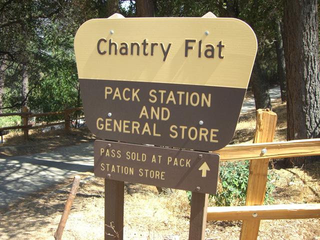
Chantry Flats
Last update March 31, 2023
Return to: Run Routes and Maps
- Race Reviews
- Foothill Flyers Home Page
- Weekend Warriors
- USFS - Adams Pack Station
 The Chantry Flat road and the trails out of Chantry are currently open.
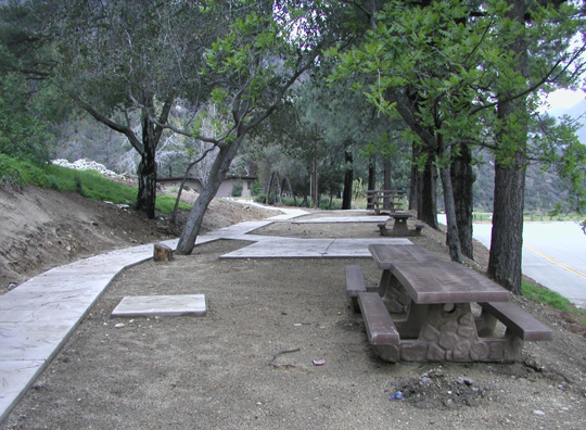
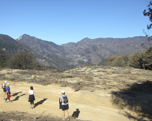
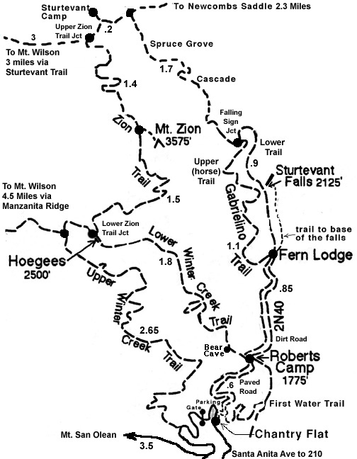
Chantry Flat is a great starting point for many runs and hikes depending on the distance or time you want to take. For the history and lots of information on the trails, check out the Santa Anita Canyon web site. A good short beginner route is about 3 mies round trip to Sturtevant Falls. The 5 mile Hoegees loop is popular for a taste of doing single tracks and rock hopping across a stream down a beautiful valley. The Mt. Zion Loop is a bit more challenging for 9 miles. If you want to do Mt. Wilson, many take the Sturtevant trail up and Upper winter Creek back for a round trip of about 15 miles. There is a good web site that has the mileage from Chantry Flats to various points on the trails - Sturtevant Falls, Mt. Wilson, Upper and Lower Winter Creek, Mt. Zion, Hoegee's...etc., check it out. Which ever trail you do, bring plenty of water, especially if it is hot, and some snacks as there is no place to replenish on the trail with the exception of Mt. Wilson.
During the weekend, the parking lot fills up by 7:30am, so start early. Angeles National Forest and the Chantry Flats road is open but check the USFS web site for current information. A USFS Adventure Pass is required to park at Chantry Flat. The gate at the top of Santa Anita Ave opens at 6AM and closes at 8PM daily. Lots of good info on the Adams Pack Station web site about trails, history, etc., and is a good place to get a burger and a drink at the end of your trail. To get to Chantry Flat from the 210 Freeway in Arcadia, take the Santa Anita Ave off ramp and go all the way north into the mountains to the parking lot at the end.
The club used to do an informal 9 mile Mt. Zion loop run/hike from Chantry Flats New Years Eve morning known as the Noiz Indian Run. Walkers start at 7:00 AM, joggers at 7:30 AM and runners at 8:00 AM so that all will regroup at Sturtevant Camp about 9:15 to get a drink from the fountain and try the tree swing. Then up to Mt. Zion for the fun Noiz Indian ceremony. At the finsh back at Chantry Flat you can pot luck or buy food from the Adams' Pack Station.
 Chantry Flat is the mile 75 aid station for the Angeles Crest 100 Mile Trail Race held in August. Runners have 33 hours to go from the 5AM start in Wrightwood and finish at Loma Alta Park in Altadena before 2 PM the next day.
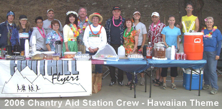
The Foothill Flyers Running Club operates the Chantry Flat aid station with volunteers and welcomes all the help we can get to help set up, take down, cook and dispense food, medical aid, mark trail, etc. Click on AC100 for information on the race and during the race you can track a runners times in and out of the aid stations.
The new owners of the Adams' Pack Station have expanded their operation. The pack station is located south of the upper parking lot on the dirt road - check it out You can buy your Adventure Pass for $5 for parking in the USFS lots. When the Pack Station is closed, you are welcome to park in the Pack Station lot and put $5.00 in the Pack Station's Honor Box - the money goes to feed the donkeys and goats. On the weekends the grill is hot and you can get hot dogs, hot links, hamburgers, fries and sometimes chili between 11AM and 5 PM. Soft drinks, beer, ice cream, munchies, sun screen, etc. and a great trail map bandana for $7 are also sold at the Pack Station. On one weekend of the month you can get their famous pulled pork sandwiches and hear live music - check the Pack Statiions calendar of events. They have a Friday nite before the full moon hike each month. Check out their web site for current details on all that they have going on.