East Fork San Gabriel River Trail
9 AM Friday morning after Thanksgiving
Last update Nov. 30, 2009
This is an alternate to the West Fork Morning after Thanksgiving run when the area is closed.
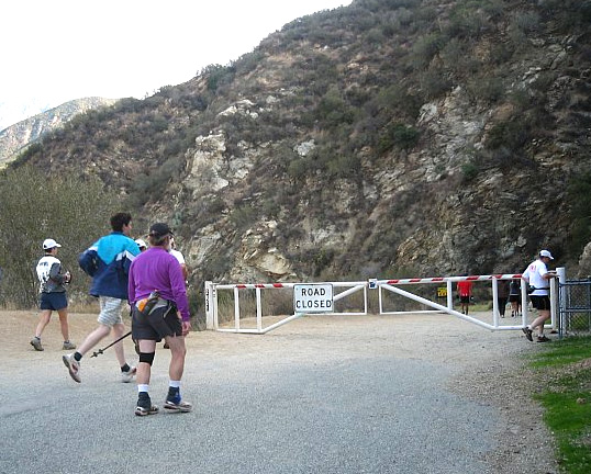
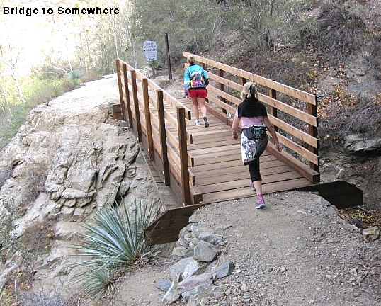
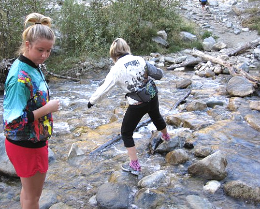
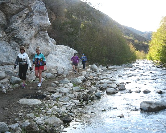
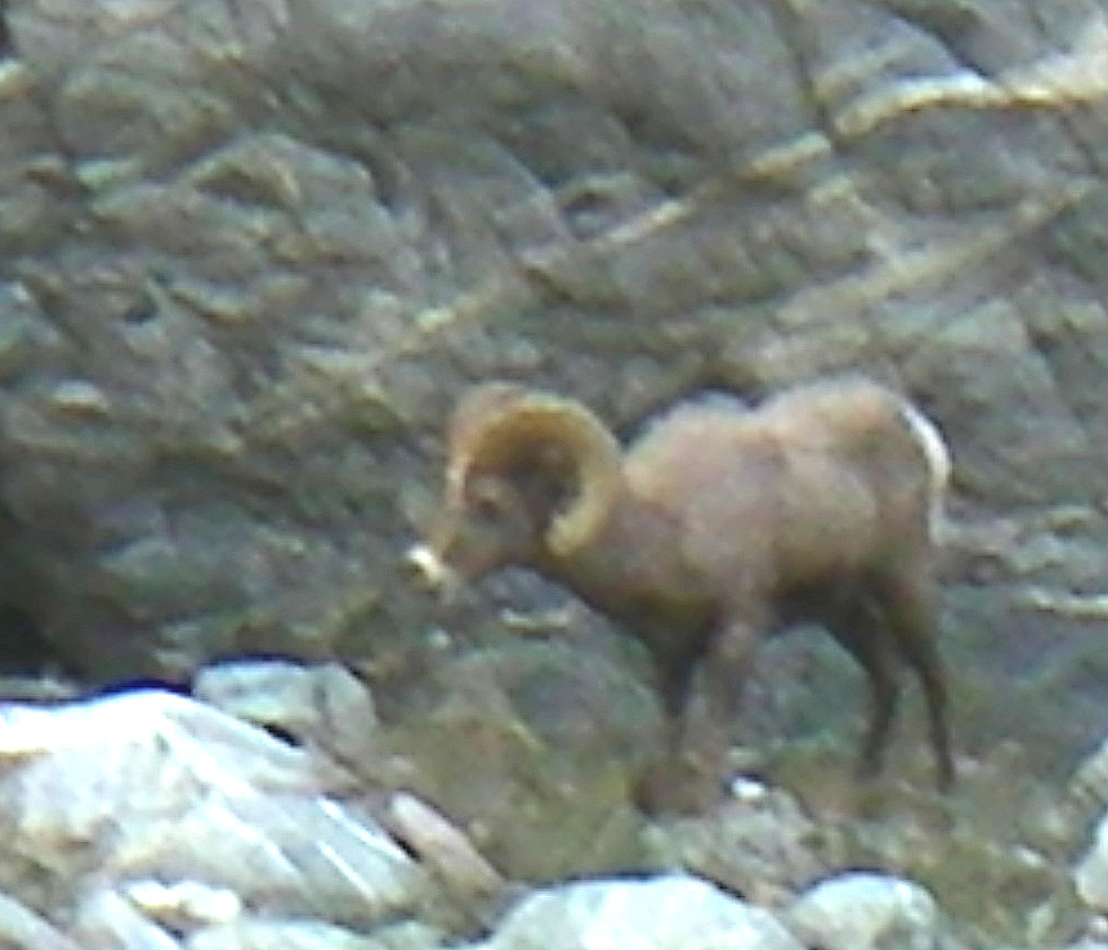
Due to the Station Fire, the West Fork fire road that we usually use for our Day-after Thanksgiving run is closed. See the photos on the web sites below and at the Weekend Warriors photo page. The East Fork trail is not paved and is a lot more technical than West Fork; so be prepared for some rock hopping and stream crossings. Think of it as an adventure.
Here's the plan:
1. Carpoolers meet in REI parking by 8:00 AM to assemble and get on the road. Plan to leave the parking lot no later than 8:15 AM. Ride with someone who has an Adventure Pass.
2. Meet in the East Fork parking lot around 9:00 AM (directions to East Fork below). For those not carpooling, bring your Adventure Pass.
3. After the Group Picture, we will "run" or hike out about an hour, turning around in time to be back in the parking lot around 11:30 AM to set up for our pot-luck.
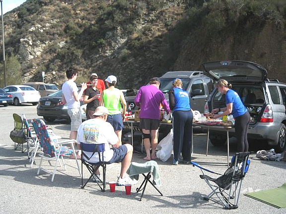 4. 11:30 AM (or thereabouts) - Pot-Luck-in-the-Parking Lot - In the absence of formal picnic tables nearby, we will default to what we know best - circle the lawn chairs. Think of it as "Pizza Night with Poultry". For those of you who don't want to do the run, please feel free to join us for the Pot-Luck.
What to bring:
1. Thanksgiving left-overs or something else to share with the group (your chance to get all that food out of the house).
2. Your own drinks
3. Lawn chairs - there are no picnic tables
4. Layers to wear- It's always been cold in West Fork at the start; I have no idea about East Fork, but it's supposed to cool down on Friday anyway.
5. Maybe a change of shoes and socks, if you plan to go rock hopping across the river.
6. Nice big tail gate, if you have one - We're going to try to bring a folding table, but I don't know how or if that will work (part of the adventure), so it will be nice to have some "side tables" just in case.
 Directions to East Fork:
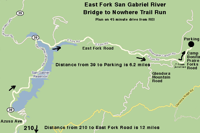
From Arcadia, take 210 East toward Azusa. Exit on Azusa Avenue (Hwy 39) and head north approximately 12 miles to the junction at the north end of the San Gabriel Reservoir. Turn right on East Fork Road and continue approximately 6.2 more miles to the East Fork Station where the road dead ends. Meet us at the far end of the parking lot. Note:East Fork Road turns into Camp Bonita Praire Forks road at the junction with Glendora Mountain Road. Click map to down load as a jpeg photo and print out.
Plan on turning off the 210 on to Azusa Ave (Hwy 39) no later than 8:30 AM to get to the East Fork parking lot by 9:00 AM. It's about 16 miles north of the 210 on some windy roads.
The East Fork Trail actually takes you to the Bridge to Nowhere, if you go 4.5 to 5 miles in (9 to 10 miles round trip) with lots of criss crossing the creek and rock hopping. Most of us won't get that far. Google Earth latitude 37-17-00, longitude 117-44-48.There is a shorter trail of about 5 miles round trip on the dirt Shoemaker Road to Nowhere that has two long tunnels at the end. Google Earth latitude 37-15-15, longitude 117-45-15. There are photos also.
Here are some other links to info about trail and the bridge:
Bridge to Nowhere - Wikipedia
Hikes to the Narrows and Bridge to Nowhere.
Good GPS marked route (This is really cool! KJ)
East Fork San Gabriel River Hikes.
A USFS Adventure Pass is required to park in the area. Best to buy one at REI on Wednesday night as the places to buy one on Azusa Ave may not be open that early in the morning Friday. Also arrange to carpool on Wednesday night so only one of you will have to get the Adventure Pass per vehicle.
Karen Johnson is the Go To Person for this event.