Foothill Flyers Running Club
Annual Christmas Eve Morning Clamshell Run
Last update Dec. 24, 2024
Return to: Run Routes & Maps - Foothill Flyers Main Page - Directions

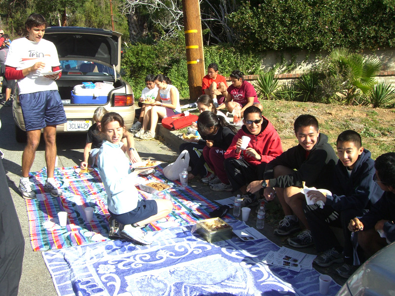
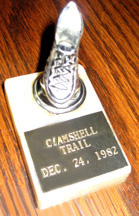 This event has has been a club tradition since 1982 where Bill and Sandy Johnson, owners of the Arcadia Loeschorns running store gave everyone a trophy. Students Run LA and other clubs have joined us over the years. Most years we have been treated to the spectacular views and good weather (however, you may want to bring long sleeve shirts and gloves at the start just in case). Please keep voices down at the start so as not to disturb the neighbors after you park and until you pass the first gate on the trail. No excitable dogs please.
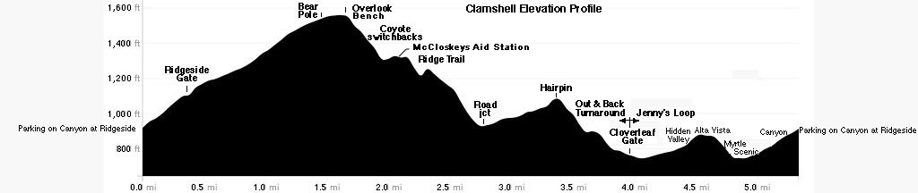
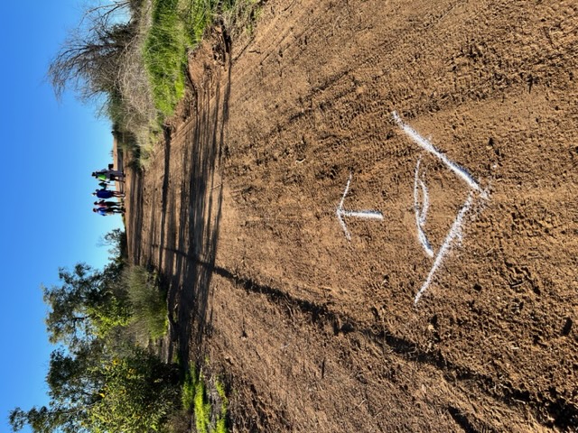
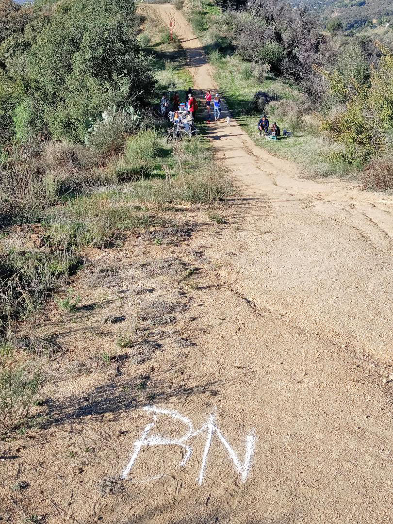
Runners have the choice of going out to the Cloverleaf Gate and back for 8 miles round trip, out until the first fast runner passes you coming back, walkers out 1 hour or to the McCloskey aid station (1.8 miles) and turn around. A club member may volunteer to start early and mark all the turns with flour arrows. There is also Jenny's 5.3 mile loop if you don't mind coming back on the street. A Snails Pace runs this loop starting at 6am on the third Wednesdays.
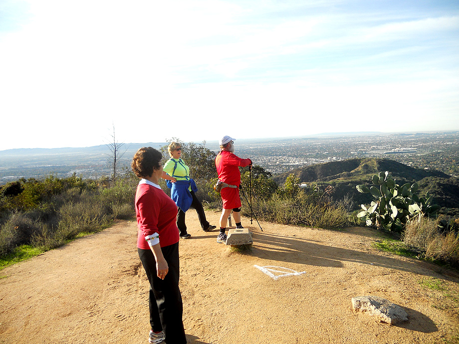
The Overlook from the top of the Coyote trail looking south. This view spot is worth the stop before continuing down the 17 switchbacks.
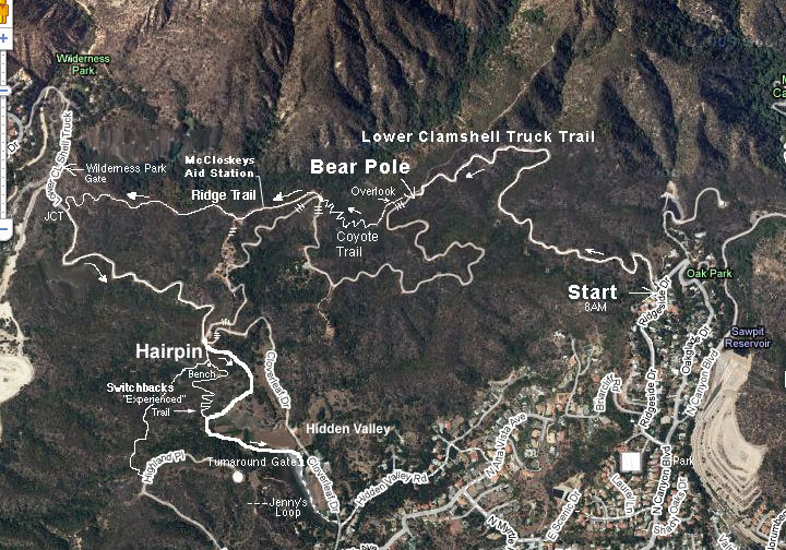 When you reach the Clamshell Truck Road at the bottom of the fire break Ridge trail, you have a choice to turn right and complete the old route to the Wilderness Park turnaround fence or down to the top of the dam before turning around, or turn left and go up to the Hairpin. If you still want more, take the new dirt road trail on the right down to the Cloverleaf Gate turnaround and come back up the "experienced" switchback trail to the hairpin junction.
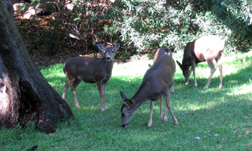
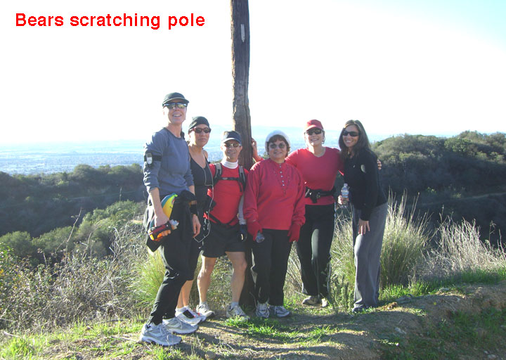
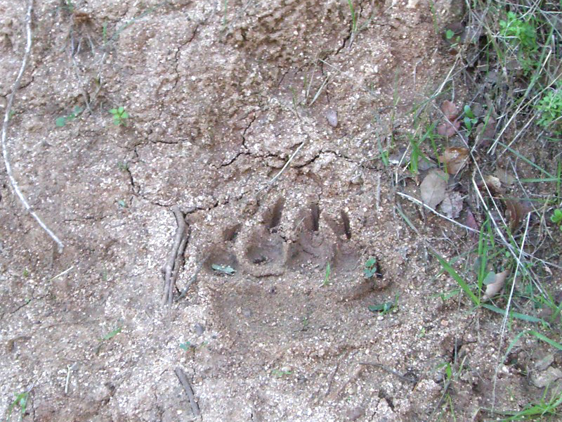
It is not unusual to see deer on the trail.
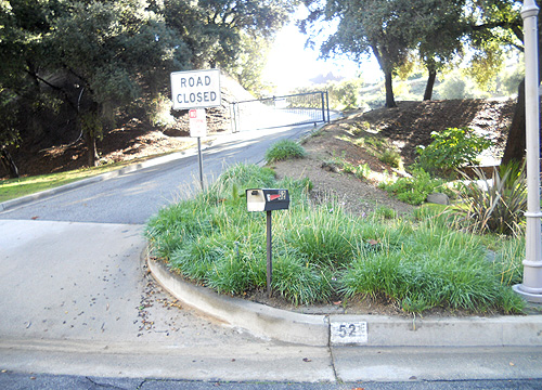
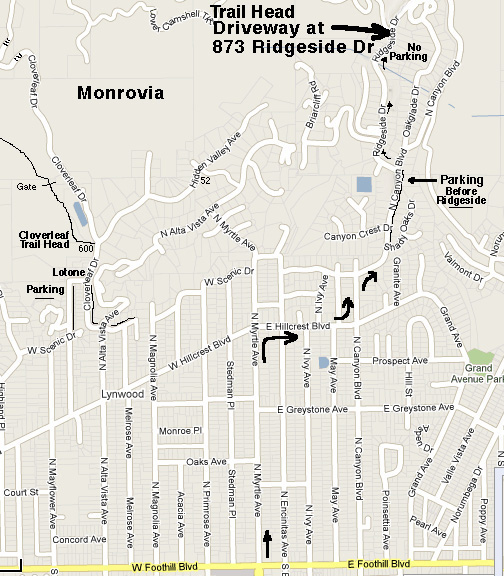
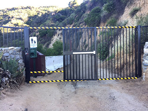
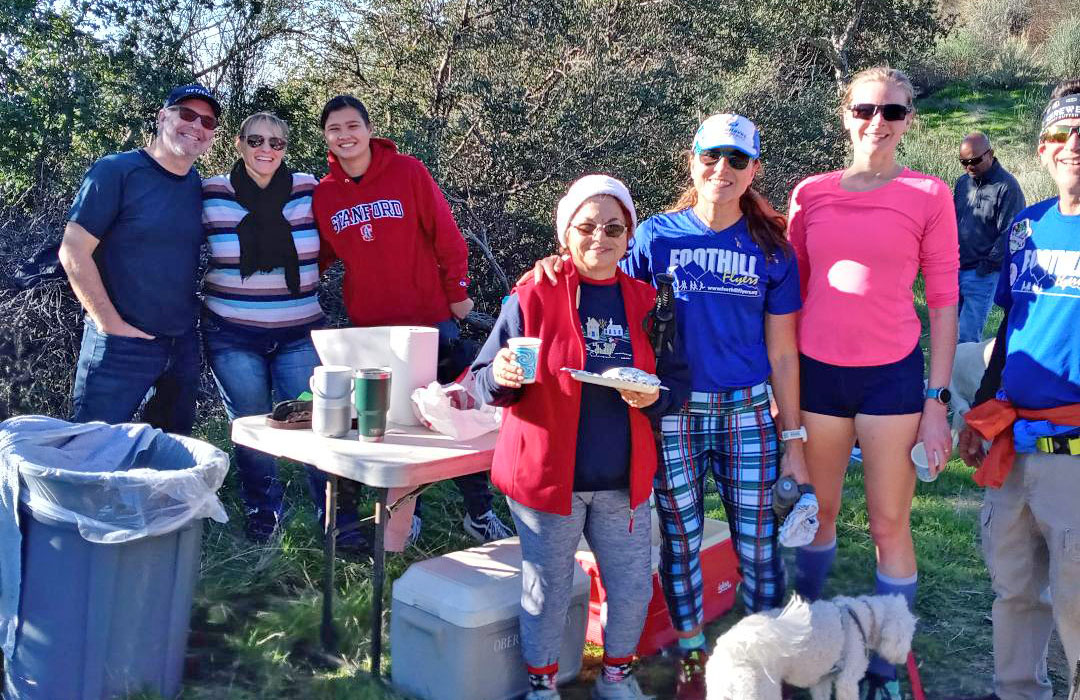
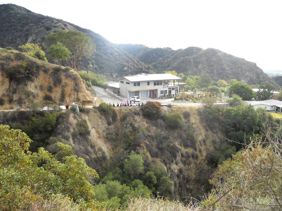
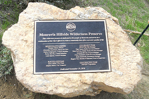
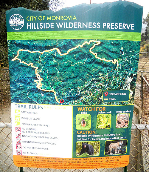
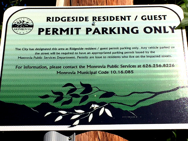 Plan on parking before 7:40am on N. Canyon Blvd to walk up to 873 Ridgeside Dr. Monrovia (trail head) for the traditional group photo at 7:55am sharp. In 2016 the City of Monrovia changed and improved the Clamshell trail now known as the Monrovia Hillside Wilderness Preserve. But with that there are restricted parking signs up on Ridgeside Dr., the street we used to park on at the Clamshell Trail Head, and Oakglade Dr. So now we must park on N. Canyon Blvd. below Ridgeside Dr. and walk 4/10 mile up the to the trail head.
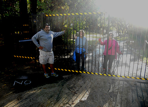
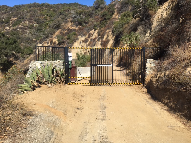
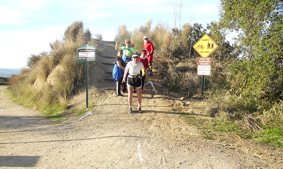
Directions: From the 210 go north on Myrtle to Hillcrest. Turn right on Hillcrest (recognize it from our Wednesday night run)? Turn left on N. Canyon. N. Canyon continues to the right as you intersect with Scenic. Park on Canyon just before Ridgeside. Plan to park no later than 7:40am. Walk up Ridgeside 4/10 mile to the trail head which is up a driveway at the south end of the tall bushes at 873 Ridgeside. Group photo at 7:55am sharp at the driveway. Please keep voices down until you pass the 2 houses on the trail and go through the gate.
Check out the cities map with all the intended trail additions.
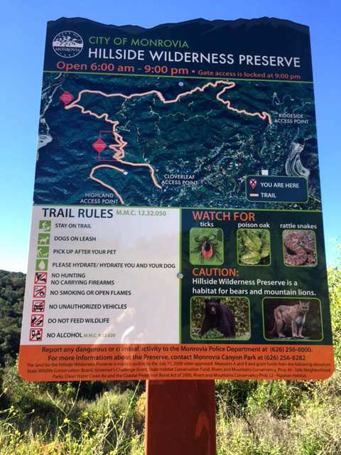
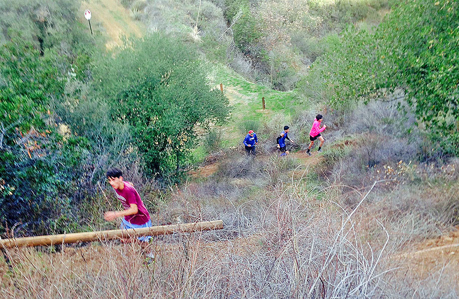
 The Ridgeside gate is open from 6am to 9pm. The dirt Jeep road will take you around some shaded canyons and up to the Sunset Overlook which has a bench and great views. To avoid going down past the house with the dogs we take the Coyote Trail switchbacks from just before the top of the hill. Also to miss the second house which is just past the bottom of the Coyote trail, stay right and go up hill on the fire break Ridge Trail. Patrick McCloskey and friends for the past 7 years has set up an aid station at the high point of the Ridge Trail with some good treats - about 1.8 miles from the trailhead. The Ridge Trail does get steep before it drops down to rejoin the old Clamshell Truck Trail. Here we turn left and go up hill to the hairpin. The trail turns off to the right down a new dirt road that ends up at the Cloverleaf gate for the turn around - there are a few single track options in the lower Cloverleaf section from the Hairpin for the adventurous. There is also a single track with switchbacks that goes right off this road marked for the "experienced" that you might find more interesting and will take the same amount of time to the junction down below with the dirt road. Wear good ground grippers.
Jenny Loopers go through the Cloverleaf gate and turn left on Hidden Valley Ave. At 52 Hidden Valley, turn right, go around the left side of the gate and go up the street. Turn right at Alta Vista, left at Myrtle, left on Scenic and follow Scenic around to return up Canyon to the cars.
 .
.